


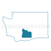
Rest Haven Voting District, Yakima County, Washington
About
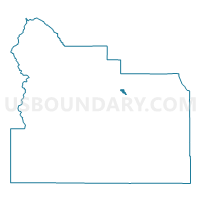
Outline

Summary
| Unique Area Identifier | 690220 |
| Name | Rest Haven Voting District |
| County | Yakima County |
| State | Washington |
| Area (square miles) | 1.82 |
| Land Area (square miles) | 1.72 |
| Water Area (square miles) | 0.10 |
| % of Land Area | 94.28 |
| % of Water Area | 5.72 |
| Latitude of the Internal Point | 46.63070290 |
| Longtitude of the Internal Point | -120.49484830 |
Maps

Graphs
Select a template below for downloading or customizing gragh for Rest Haven Voting District, Yakima County, Washington


Neighbors
Neighoring Voting District (by Name) Neighboring Voting District on the Map
- Butterfield Voting District, Yakima County, WA
- E Selah Voting District, Yakima County, WA
- Pomona Voting District, Yakima County, WA
- Slavin Voting District, Yakima County, WA
- Yakima 101 Voting District, Yakima County, WA
- Yakima 104 Voting District, Yakima County, WA
- Yakima Ridge Voting District, Yakima County, WA
Top 10 Neighboring County Subdivision (by Population) Neighboring County Subdivision on the Map
Top 10 Neighboring Place (by Population) Neighboring Place on the Map
Top 10 Neighboring Unified School District (by Population) Neighboring Unified School District on the Map
- Yakima School District, WA (77,427)
- Selah School District, WA (18,675)
- East Valley School District (Yakima), WA (15,549)